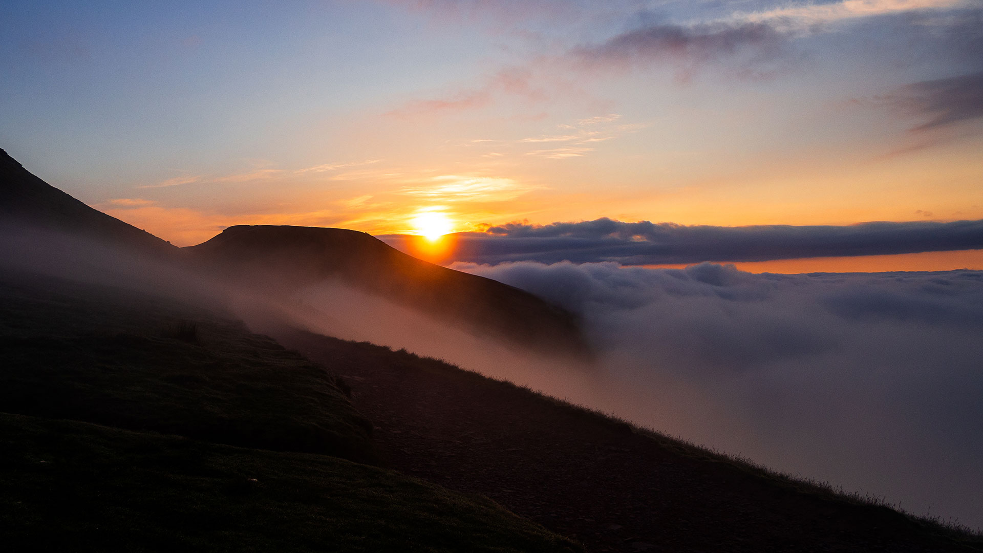
Bannau Brycheiniog (Brecon Beacons) National Park, was designated in 1957. The order conveying National Park status defines the purpose of the designation as conserving the natural beauty of the area and promoting its enjoyment by the public.
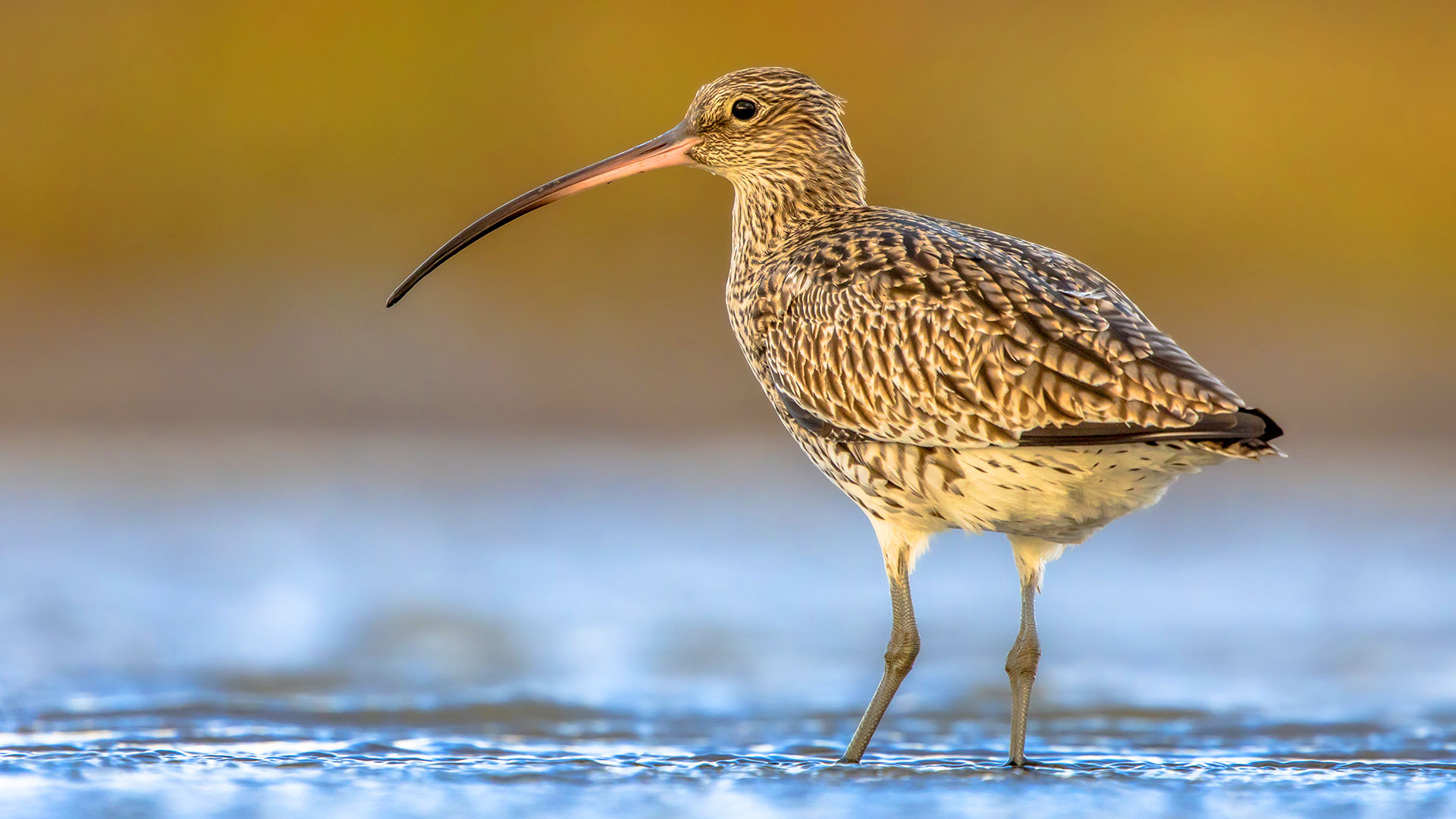
Understanding the state of our natural beauty is therefore an overarching priority and one which underpins all our other activities. We have previously defined natural beauty as encompassing a wide range of factors that combine landscape quality with ecological diversity and cultural associations (see also appendix 2). Although the experience and meaning of natural beauty is dependent on individual responses, we understand it most clearly through the lens of landscape quality. Understandably so, as our exceptional landscape quality is what we are famous for, it is valued by millions of visitors each year, but this quintessential feature of the National Park is vulnerable to change.
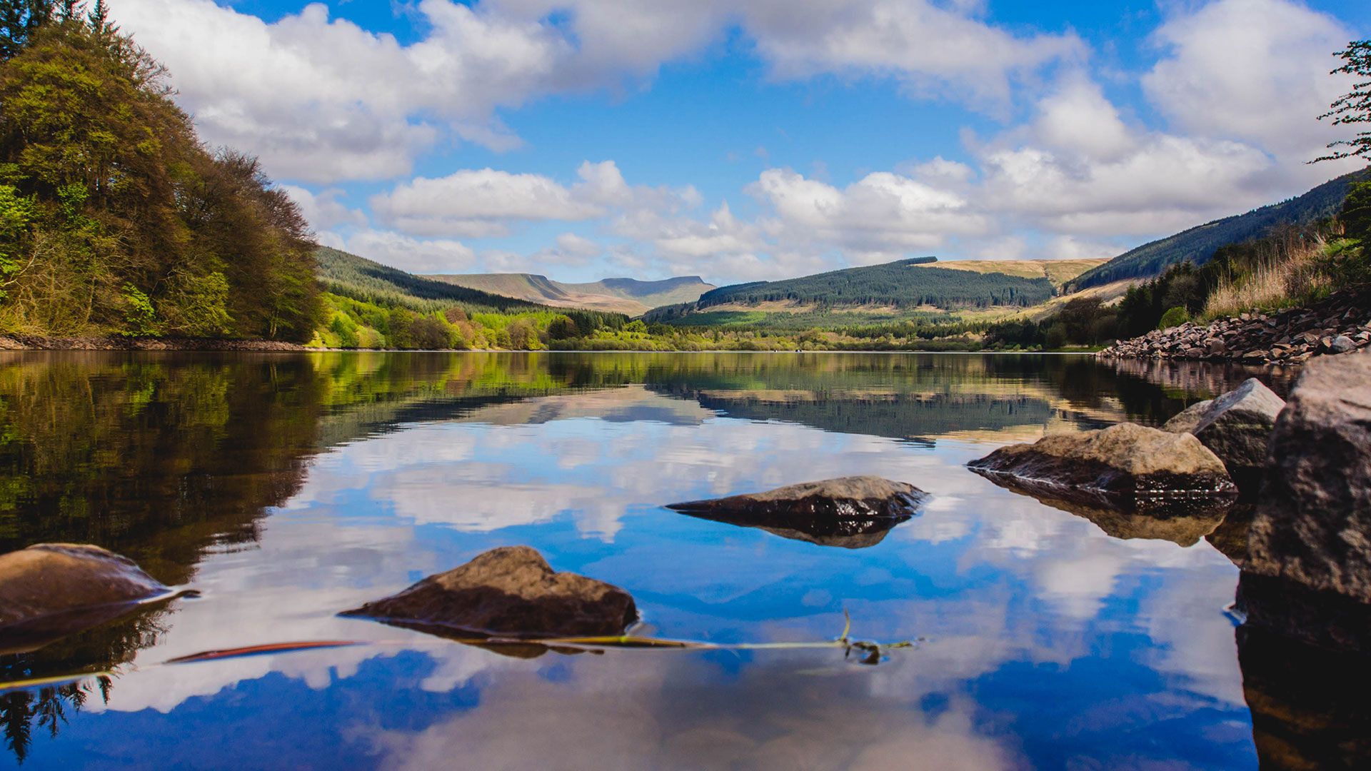
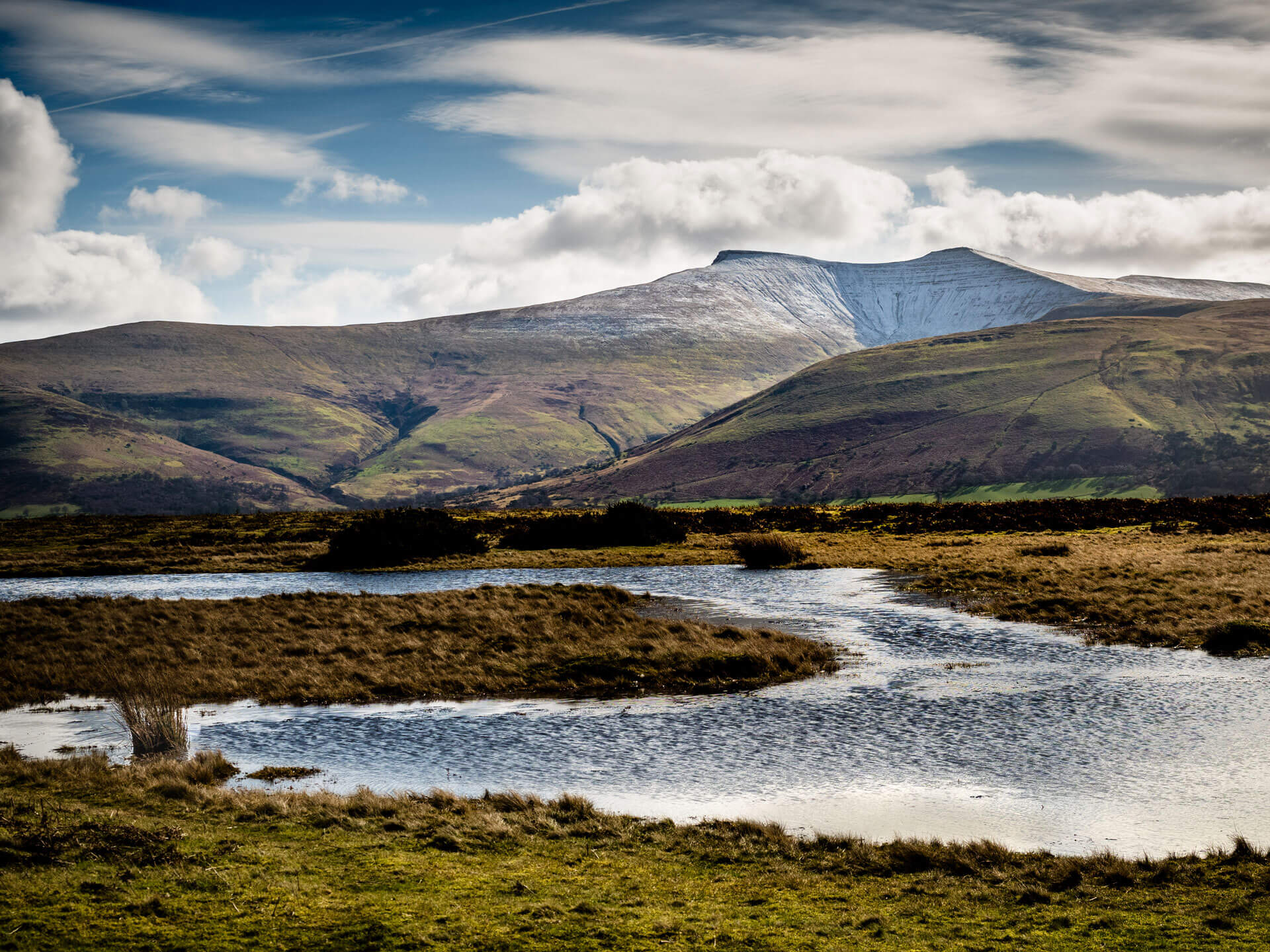
Despite the seemingly timeless quality of our landscape, it is important to understand that it is not a static entity. Our landscape itself is a product of millennia of geological, geomorphological, and human processes, processes which continue today at various paces of change. These impacts are already leaving their mark on our landscape.
An assessment undertaken in partnership with Reading University in 2021 found that just 5 out of the 16 landscape types displayed within the National Park are in Good condition as the below shows. This assessment is a work in progress and further work will be undertaken to align with past and future initiatives of the National Park and Natural Resources Wales.
| Condition | Landscape Type |
Good |
Ancient Pastoral farmlands Lake-shore Wetlands Moorland Hills & Slopes Moorland Plateau Upland Pastoral Enclosures |
Moderate |
Limestone Hills & Slopes Rocky Hills & Slopes Settled Farmlands Wooded Slopes & Valleys |
Poor |
Ancient Farmed Lowlands Settled Upland Pastures Village farmlands |
Very Poor |
Forested Moorland Plateau Forested Moorland Slopes Forested Pastoral Enclosures River Meadowlands |
State of Natural Beauty
In general the findings of the assessment were unsurprising.
Those landscape types that have been characterised by recent human interventions such as post war coniferous planting (forested moorland slopes), or Common Agricultural Policy (CAP) incentivised agricultural practice (e.g village farmlands), show lower overall conditions than those areas of landscape where visual impact from human activity is low and survival of semi-natural habitat is high, for example upland landscape types (Moorland Hills & Slopes) (Griffiths and Warnock 2021)
The diversity of landscapes across the National Park requires different land management options appropriate to the character of our varied landscape. However some common threats to its integrity exist. These can be summarised as: –
- Climate Change (water shortages/flood risk/wildlife losses/reduced food security)
- Biodiversity change (habitat losses/species losses/species invasion/habitat fragmentation)
- Changing farming practice (loss of farmers from the community/loss of skills/increased costs and/or loss of productivity incentivising intensification)
- Changing energy profile (rising fuel costs/reduced oil supplies/carbon emissions/drive for renewables)
- Population change (immigration/aging population/changing housing needs/limited infrastructure)
- Transport needs (carbon emissions/fuel costs/rural transport constraints)
- Globalization (loss of culture traditions/increase waste/overconsumption)